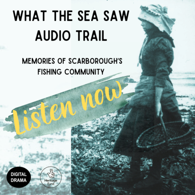
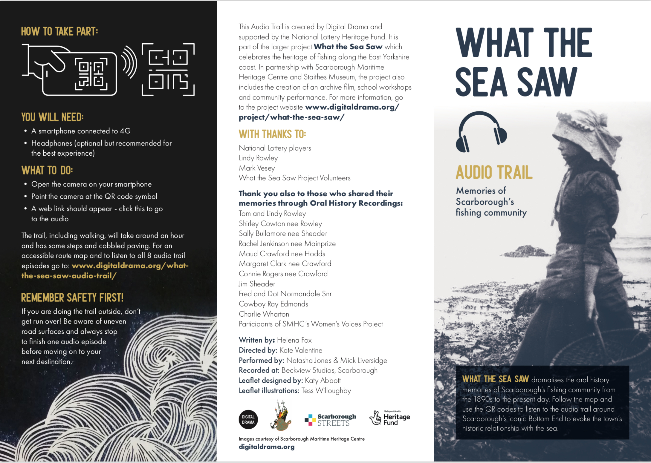
The What the Sea Saw Audio Trail is an 8-part audio drama trail inspired by the memories of Scarborough’s fishing community and is part of the Scarborough Fair Streets Festival.

There are 3 different ways you can access the What the Sea Saw Audio Trail…either:
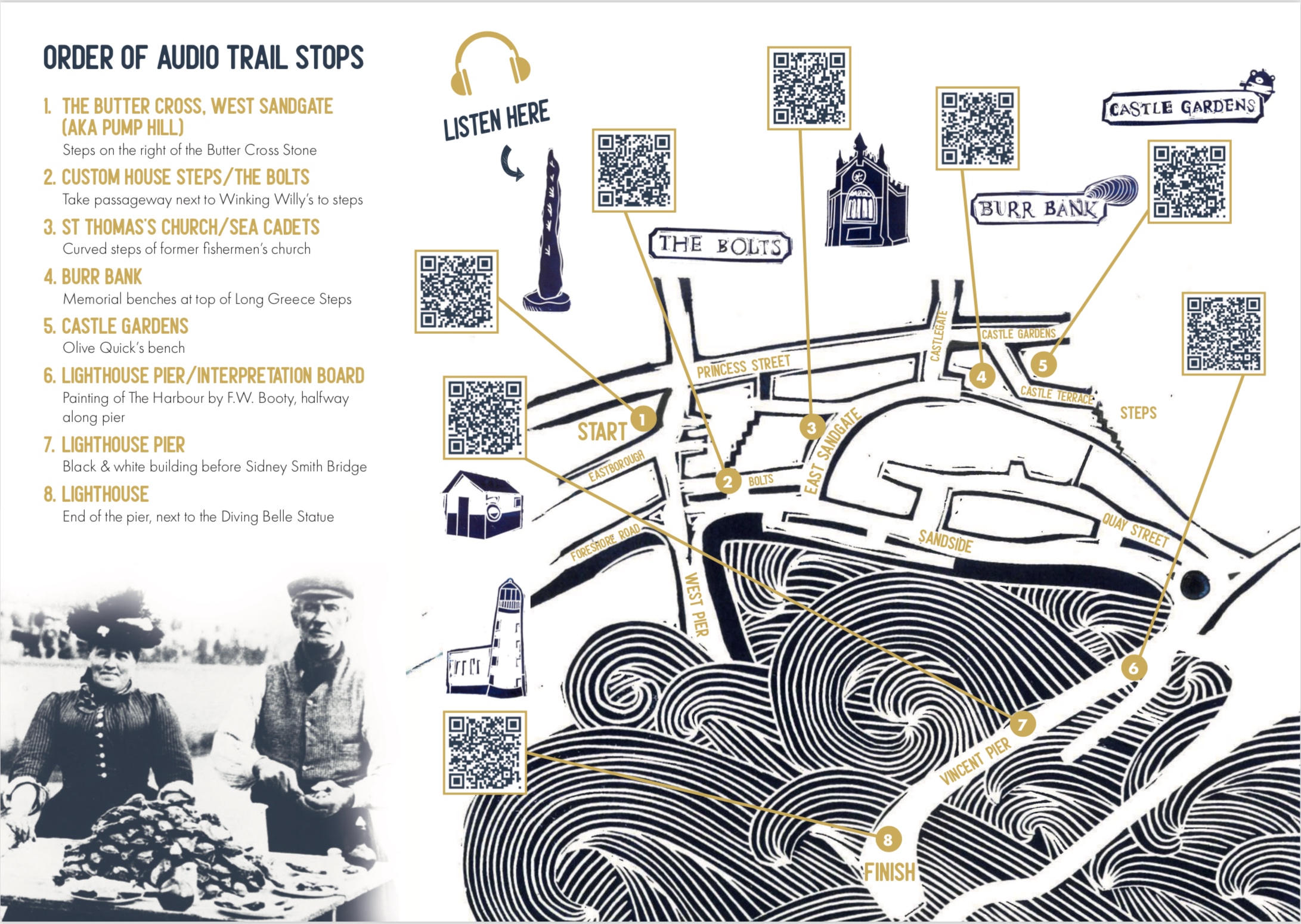
- Pick up a copy of the What the Sea Saw Audio Trail map at the Scarborough Maritime Heritage Centre, 45 Eastborough, Scarborough, YO11 1NH to guide you around the trail and use the camera function on your mobile phone (with 4G) to scan QR codes to listen to the audio at the different locations.
- Download a copy of the map by clicking here: What the Sea Saw Audio Trail Map and listen via the QR codes
- Click on the SoundCloud links further down this page and the links in the titles to take you to a Google Map location.
Alternatively, for a written version, click to download the What the Sea Saw Audio Trail Transcription.
What the Sea Saw Audio Trail Credits:
Produced by: Digital Drama
Audio written by: Helena Fox
Directed by: Kate Valentine
Performed by: Natasha Jones & Mick Liversidge
Recorded at: Beckview Studios, Scarborough
Supported by the National Lottery Heritage Fund, with thanks to National Lottery players and the Scarborough Maritime Heritage Centre.
What the Sea Saw Audio Trail location tracks:
Click the yellow title links for the location on Google Maps.
Location 1: The Butter Cross, West Sandgate (aka Pump Hill) – Steps on the right of the Butter Cross Stone
Location 2: Custom House Steps / The Bolts – Take the passageway next to Winking Willy’s to steps
Location 3: St Thomas’s Church / Sea Cadets – Curved steps of former fishermen’s church
Location 4: Burr Bank – Memorial benches at top of Long Greece Steps
Location 5: Castle Gardens – Olive Quick’s bench
Location 6: Lighthouse Pier / Interpretation Board – Painting of The Harbour by F.W. Booty, halfway along the pier
Location 7: Lighthouse Pier – Black & white building before Sidney Smith Bridge
Location 8: Lighthouse – End of the pier, next to the Diving Belle Statue


